Robot dives 1.5 miles to map French shipwreck with 86,000 images, recovers artifacts
TL;DR AI
2 min readKey summary
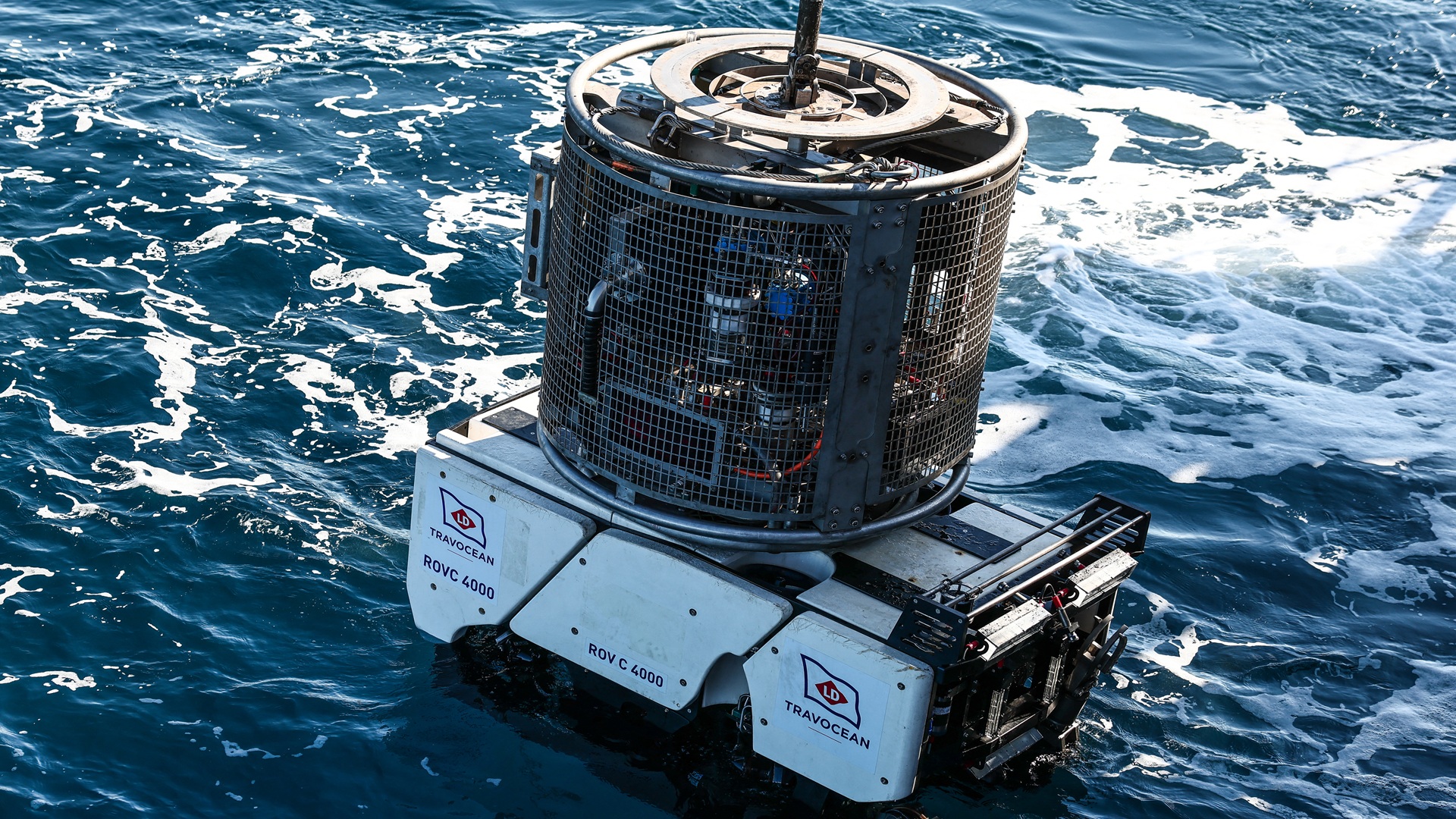
A French Navy remotely operated robot mapped the 16th-century Camarat 4 shipwreck in the Mediterranean.
Using cameras and manipulators, it captured tens of thousands of images for detailed 3D documentation.
The robot also recovered ceramic artifacts from more than 1.5 miles deep with minimal disturbance to the wreck.
The mission highlights how precision robotics is expanding non-invasive archaeology and deep-sea recovery.
Same topic