
World’s first: China maps Typhoon Noul in 3D from start to finish using drone swarm
TL;DR AI
2 min readKey summary
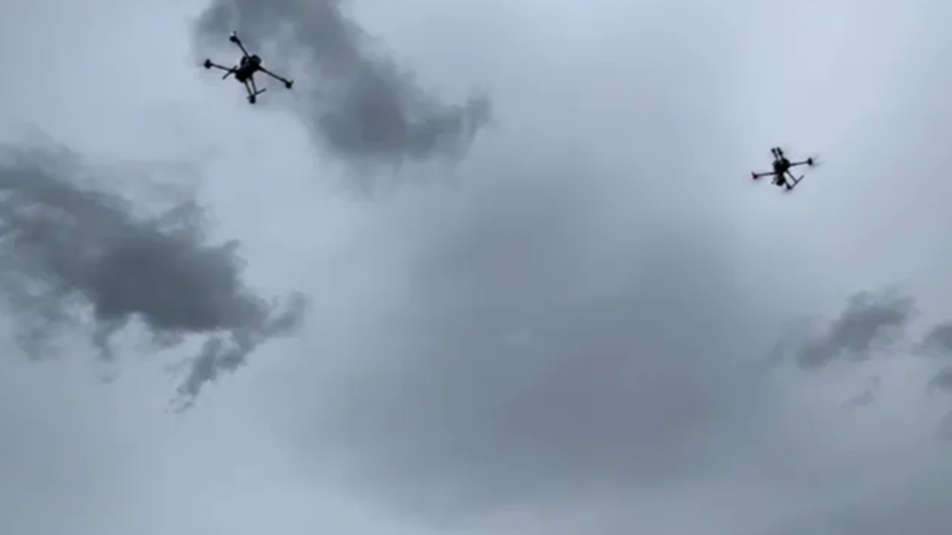
China used a coordinated swarm of meteorological drones to map Typhoon Noul in 3D as it approached, made landfall, and moved away.
The China Meteorological Administration said the mission captured atmospheric conditions and drone performance data throughout the storm.
The test filled a major low-altitude observation gap near the coast, where conventional monitoring is limited.
Researchers say the data could improve typhoon forecasting and provide real-world safety evidence for drone operations in extreme weather.