A Buried River Highway in Iraq Has Been Discovered Thousands of Years Later: The Reason Is Cold War Spy Satellites
TL;DR AI
2 min readKey summary
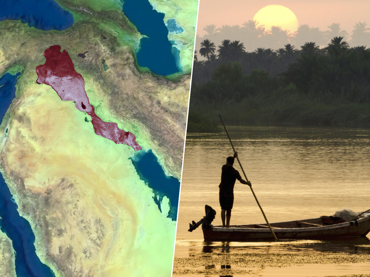
Archaeologists used declassified CORONA spy-satellite images and LiDAR to map a preserved canal network in Eridu, southern Mesopotamia.
The study suggests these waterways were not only for irrigation and refuge, but also for moving goods across the region.
The canals may have linked major city-states such as Ur, Uruk, Lagash, and Eridu, pointing to a broader trade network.
The findings reshape views of ancient Mesopotamian canals as commercial corridors as well as water-management systems.
Same topic