
Daichi-2 Observes Crustal Deformation Caused by the Kumamoto Earthquake, with up to about 50 cm on the Hinagu Fault Zone
TL;DR AI
2 min readKey summary
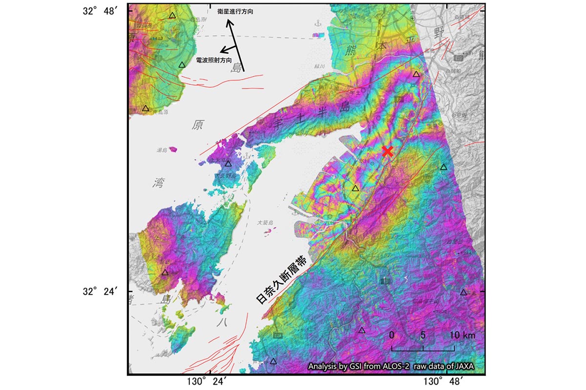
GSI used ALOS-2 satellite data to analyze crustal deformation after the 2026 Kumamoto earthquake.
SAR interferometry detected up to about 50 cm of motion toward the satellite in the northwestern Hinagu fault zone, and about 10 cm in the southeastern area.
Preliminary readings from electronic control points also confirmed deformation around Yatsushiro and Kumamoto cities.
The findings help gauge the scale of fault activity and support damage assessment and further analysis.